Constructed in 1926, US 50 was part of the original United States highway system and extends from California to Maryland. Our recent move from Oakland, California to Silver Spring, Maryland near Washington, DC inspired me to travel on this historic byway and document my journey. All work was shot on a Mamiya 6, a film camera that creates negatives that are six centimeters square. This camera really forces me to shoot with intention. The film stock is mostly Ektar 100, for those who are curious.
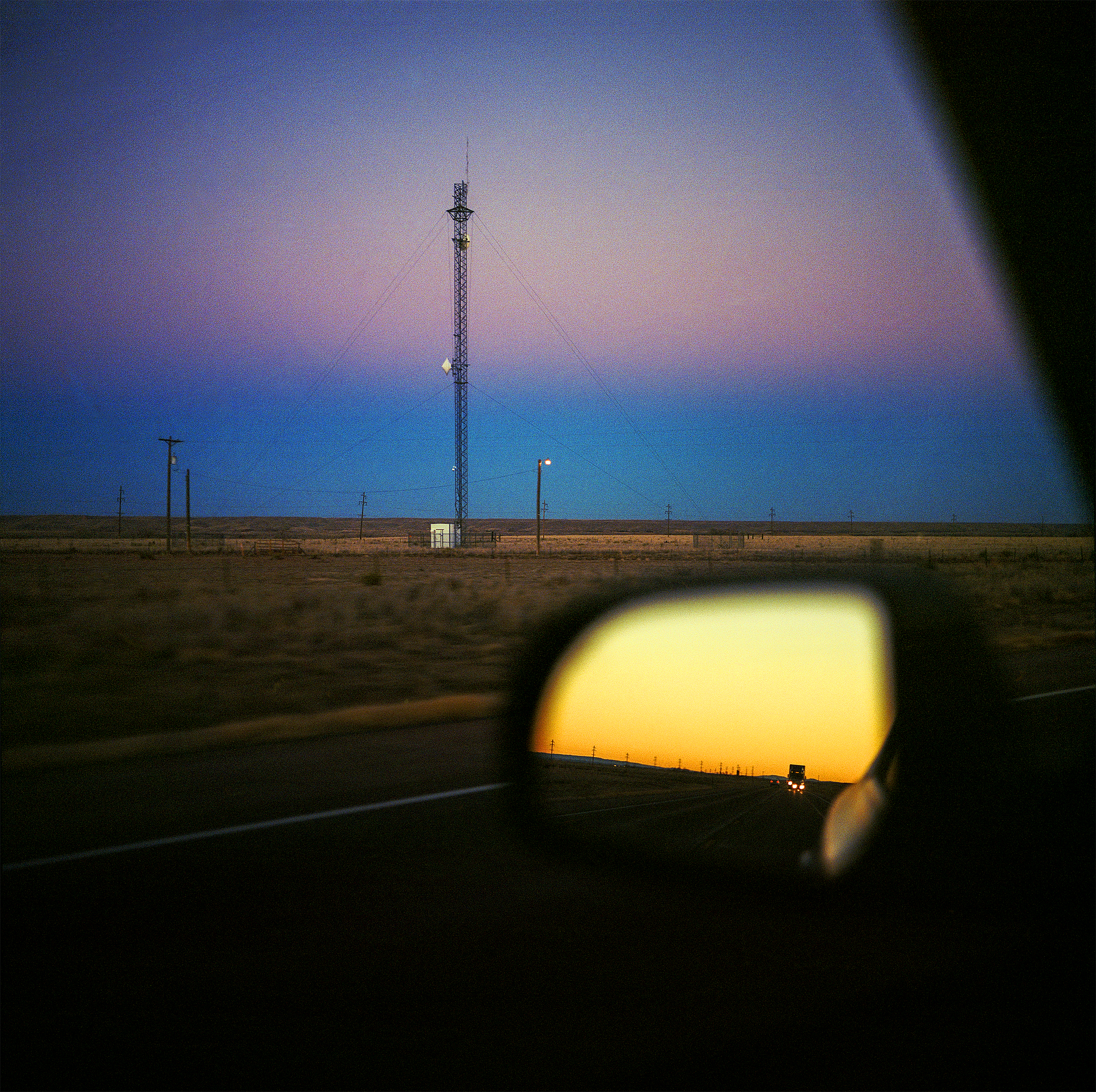
Constructed in 1926, US 50 was part of the original United States highway system and extends from California to Maryland. Our recent move from Oakland, California to Silver Spring, Maryland inspired me to travel on this historic byway and document my journey. This image was made in western Kansas, where the US 50 runs almost parallel to the old Santa Fe Trail, a critical transportation route in the 19th century.
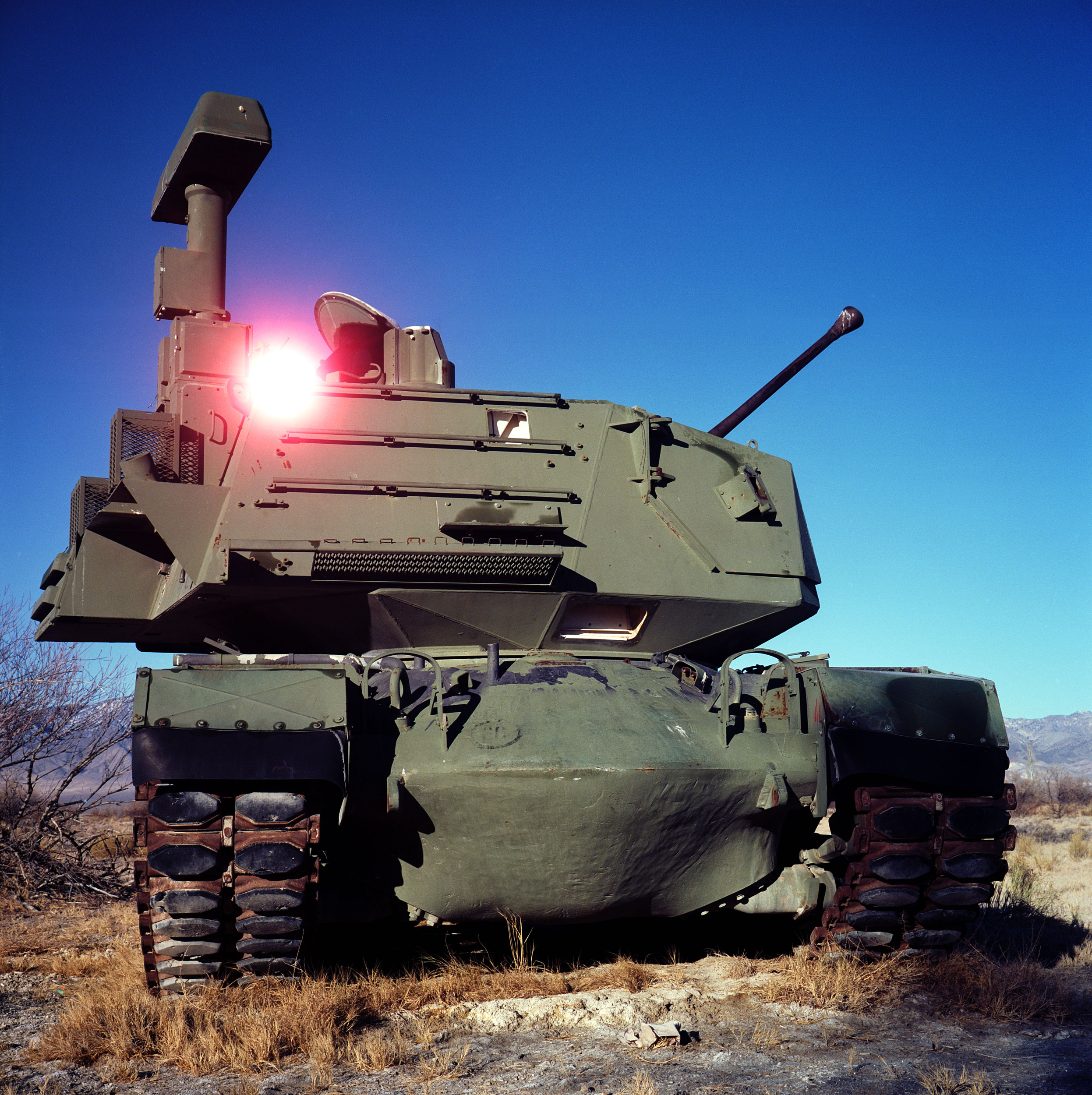
A demilitarized tank sits at the Dixie Valley Naval Training Area. Dixie Valley was a small ranching community outside of Fallon, Nevada that was acquired by the US Navy for electronic warfare simulation in 1995. While most of the area is publicly accessible, a sign near the entrance states “The land beyond this sign is used by NAS Fallon for military training. Low flying aircraft, military vehicles and personnel may be using flares, smoke/simulator grenades, and blank fire ordinance on this area at any time.” Needless to say, I wasn’t attacked while I was there. The area was quiet and vast. While researching the area, where other demilitarized vehicles and radar stations are spread across the valley, it was suggested that Dixie Valley was used to mock an invasion by a foreign power on American soil. Also, the Navy’s “TOPGUN” program (Naval Fighter Weapons Program), moved from Miramar, California to the area a year after Dixie Valley was acquired. If anyone has an idea of what kind of tank this is, please let me know in the comments!
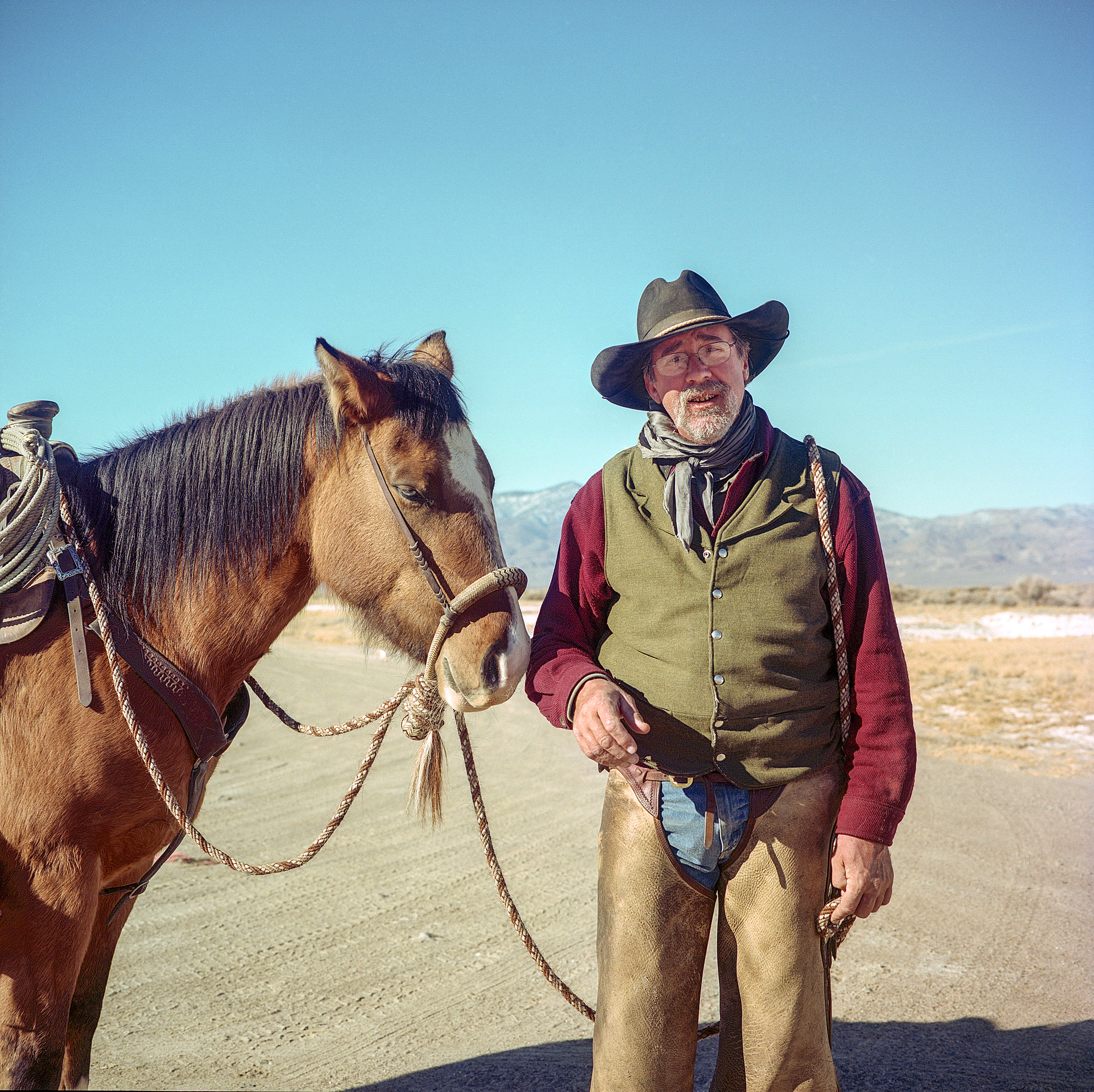
It’s hard to describe the isolation of Dixie Valley, a former ranching community in the Nevada desert now used for combat simulation by the US Navy. So, imagine my surprise when I met this cowboy as I was going down the last road I told myself I’d explore in the valley before moving on down US 50. I stopped and we chatted for a spell and he told me I was the first person he’d spoken with in weeks. Apparently, the valley is not just for combat simulation, but is also interspersed with ranchland. He was preparing to ride out into the desert to drive cattle to another pasture, and I’d be lying if I didn’t say I was completely jealous. He’s originally from Cleveland, Ohio but made his way to the desert after a series of moves that became more and more rural as time went on.
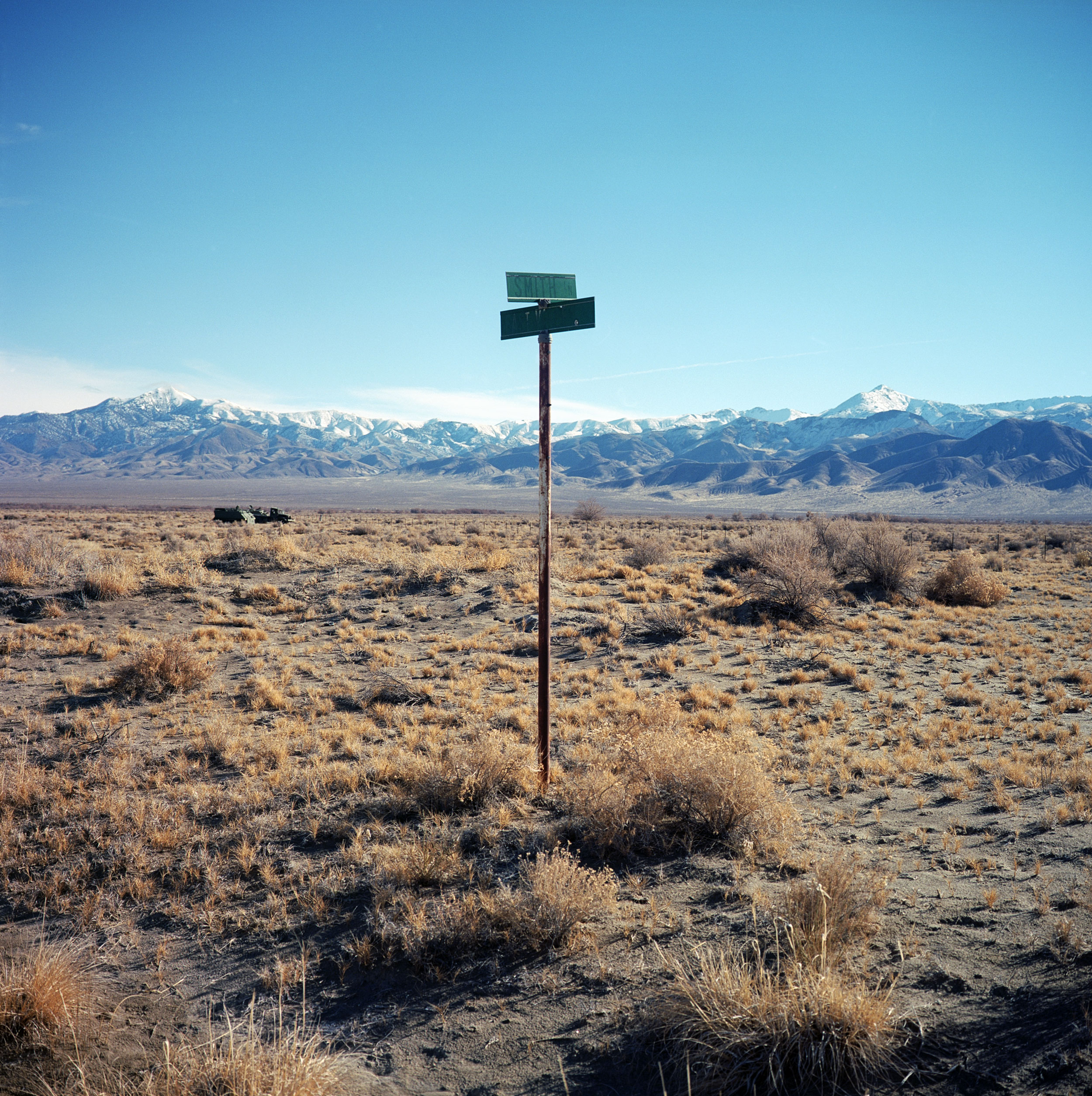
Street signs mark a former neighborhood in Dixie Valley, Nevada. The area was purchased by the US Navy in 1995 to use for combat simulation by fighter and electronic warfare pilots. There’s a part of me that is fascinated by neighborhoods that revert back to nature ever since portions of my childhood neighborhood were allowed to return to nature following a 100-year flood.
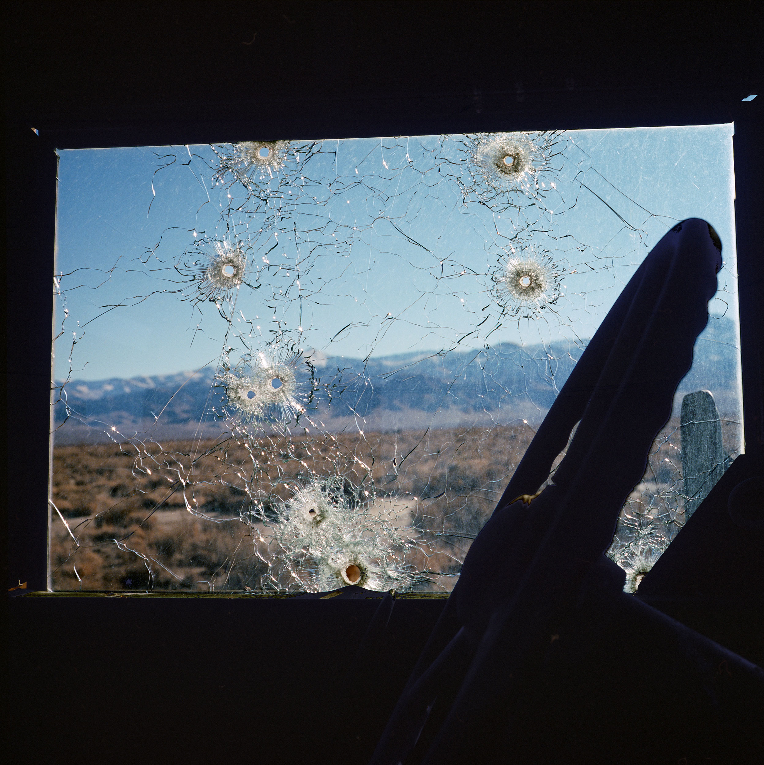
A demilitarized troop carrier, used as target practice inside the Dixie Valley Naval Training Area in the Nevada desert. The area was purchased by the US Navy in 1995 to use for combat simulation by fighter and electronic warfare pilots. The area is littered with decommissioned tanks, radar stations, troop vehicles and other abandoned structures. While the area is publicly accessible, there is still a warning sign at the entrance to the valley stating that the area is still actively used for training purposes.
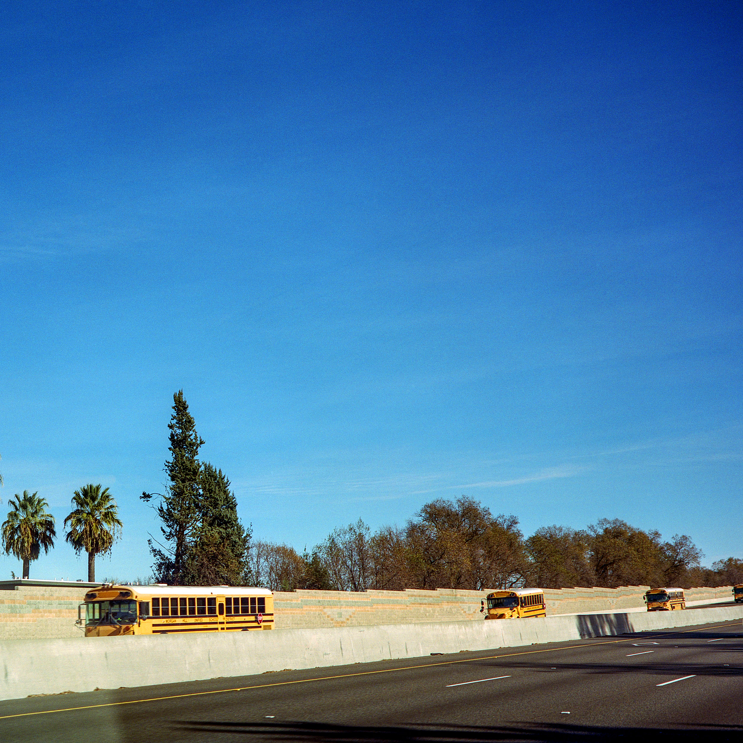
Buses traveling back from the sierras to a school district near San Jose.
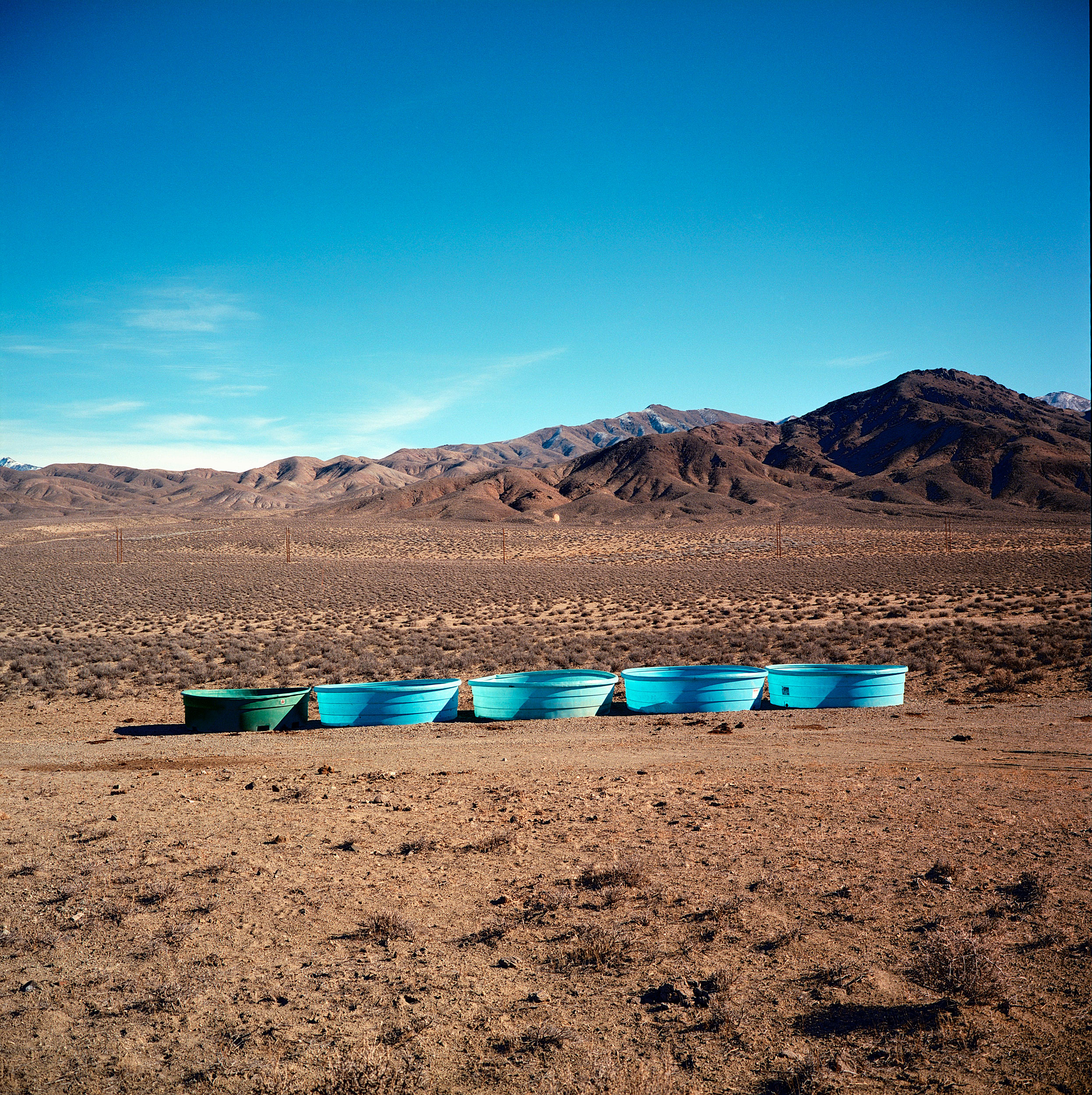
Cattle watering troughs near Dixie Valley, Nevada.
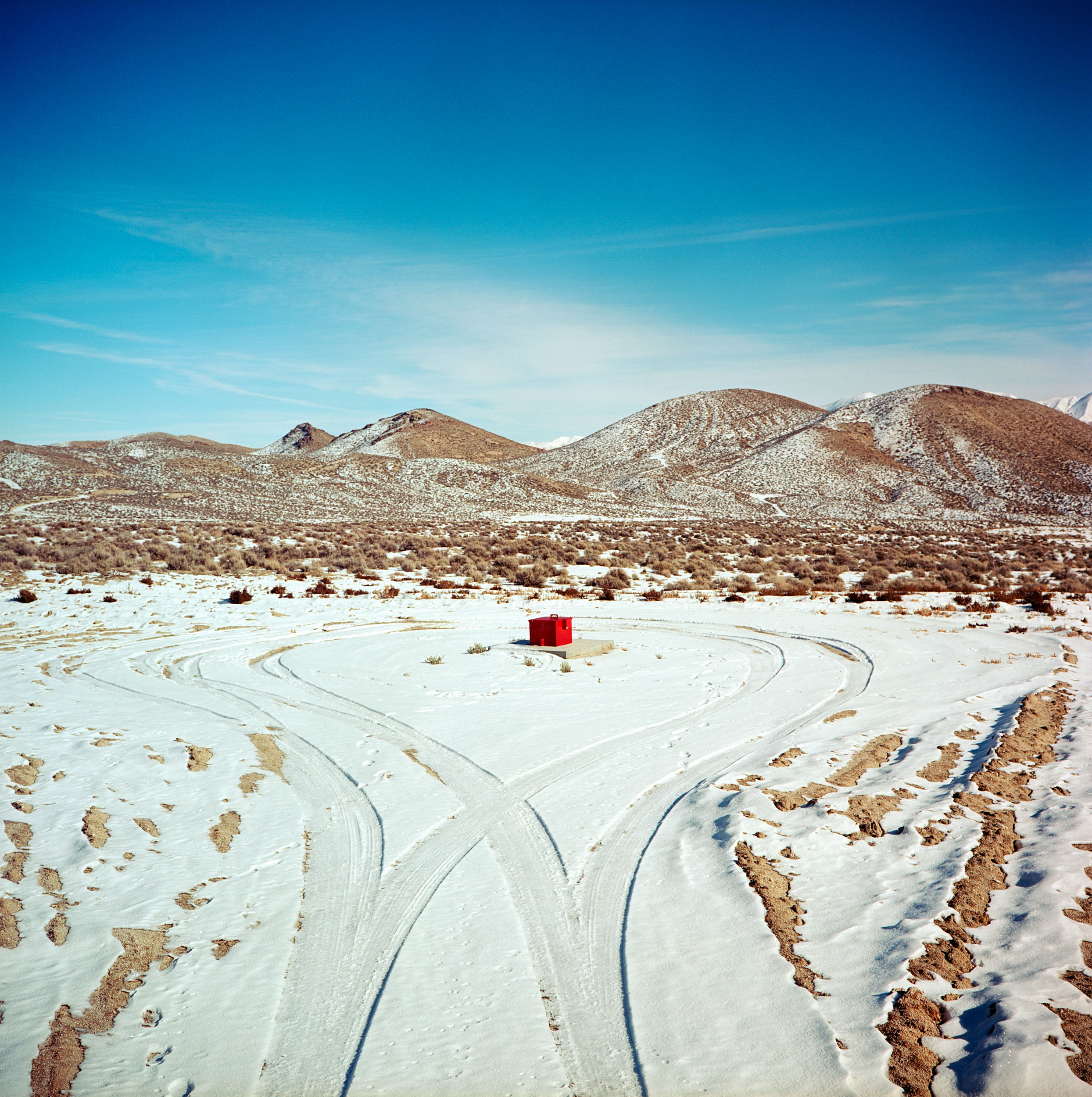
A Project Shoal Nuclear Test Site monitoring well in the Nevada desert. The underground nuclear test took place October 26, 1963 to compare seismic activity between a natural earthquake and a nuclear blast. The 12-kiloton device was detonated at 1,211 feet underground.
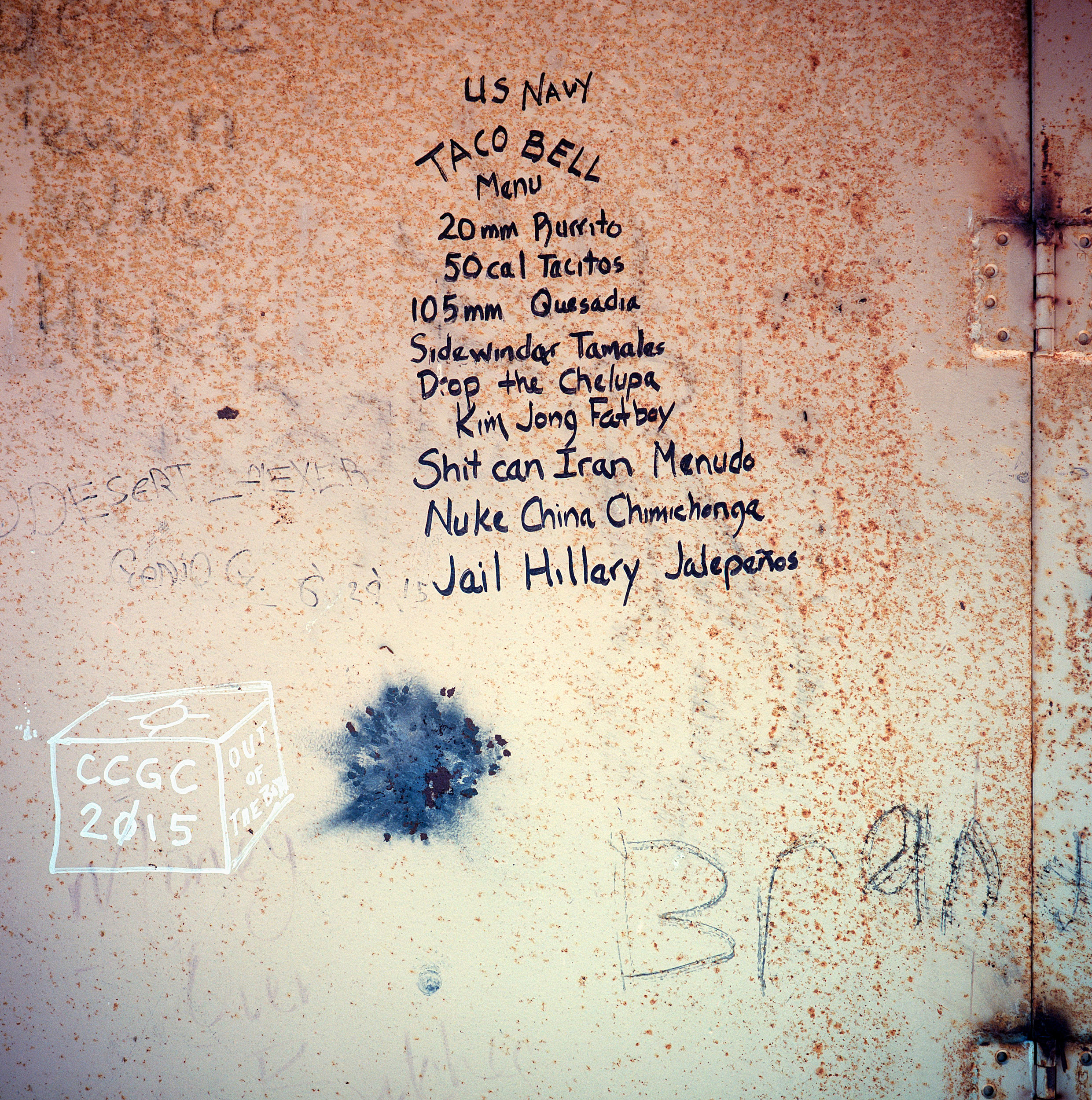
Graffiti covers a metal wall inside a target structure at the Dixie Valey Naval Training Area. The valley was acquired from local ranchers by the US Navy for electronic warfare simulation in 1995. The water table is very high in the area and many ranches in fact were beginning to experience sinkholes and subsidence.
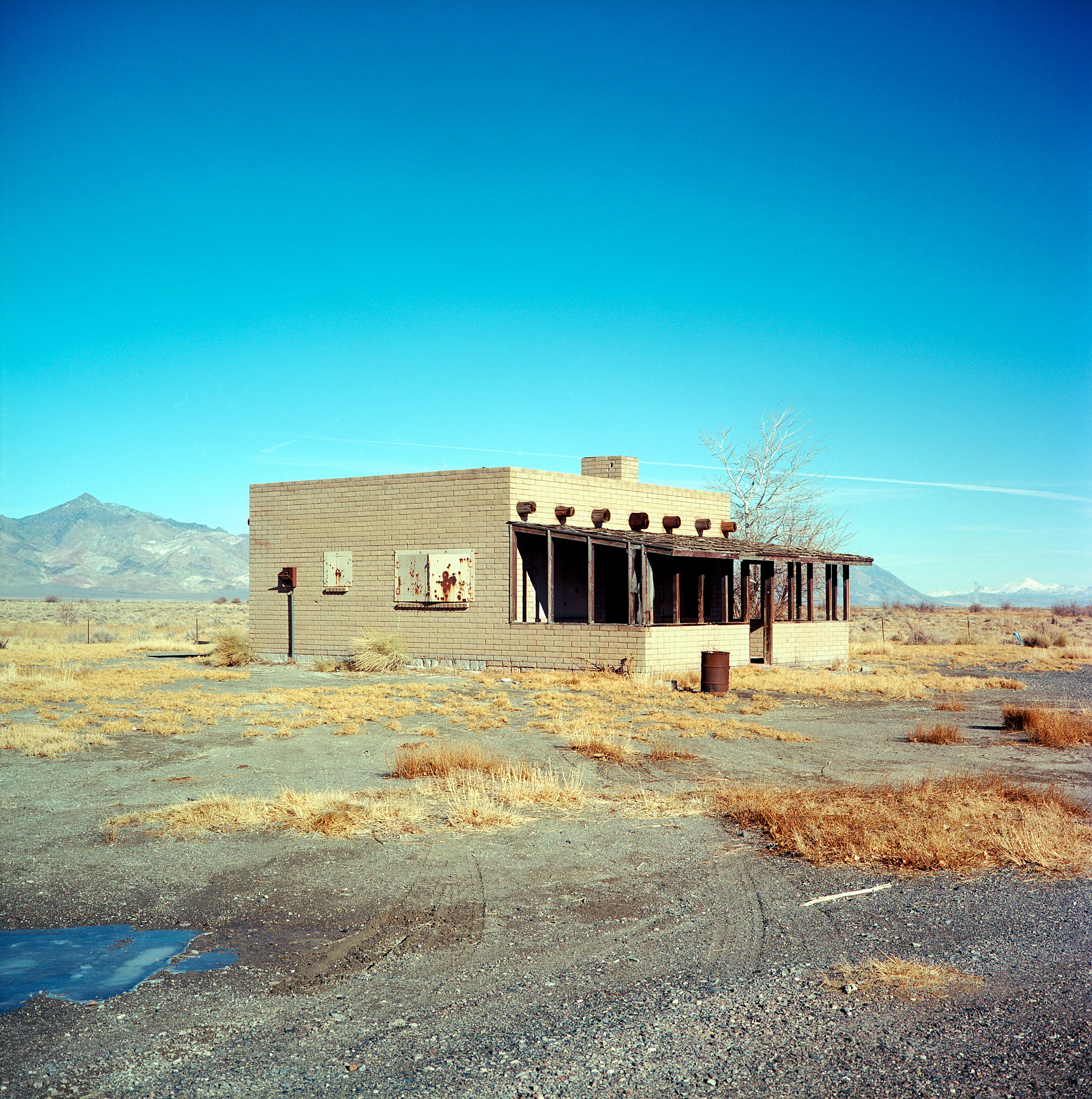
Target structure at the Dixie Valey Naval Training Area. The valley was acquired from local ranchers by the US Navy for electronic warfare simulation in 1995. The water table is very high in the area and many ranches in fact were beginning to experience sinkholes and subsidence.
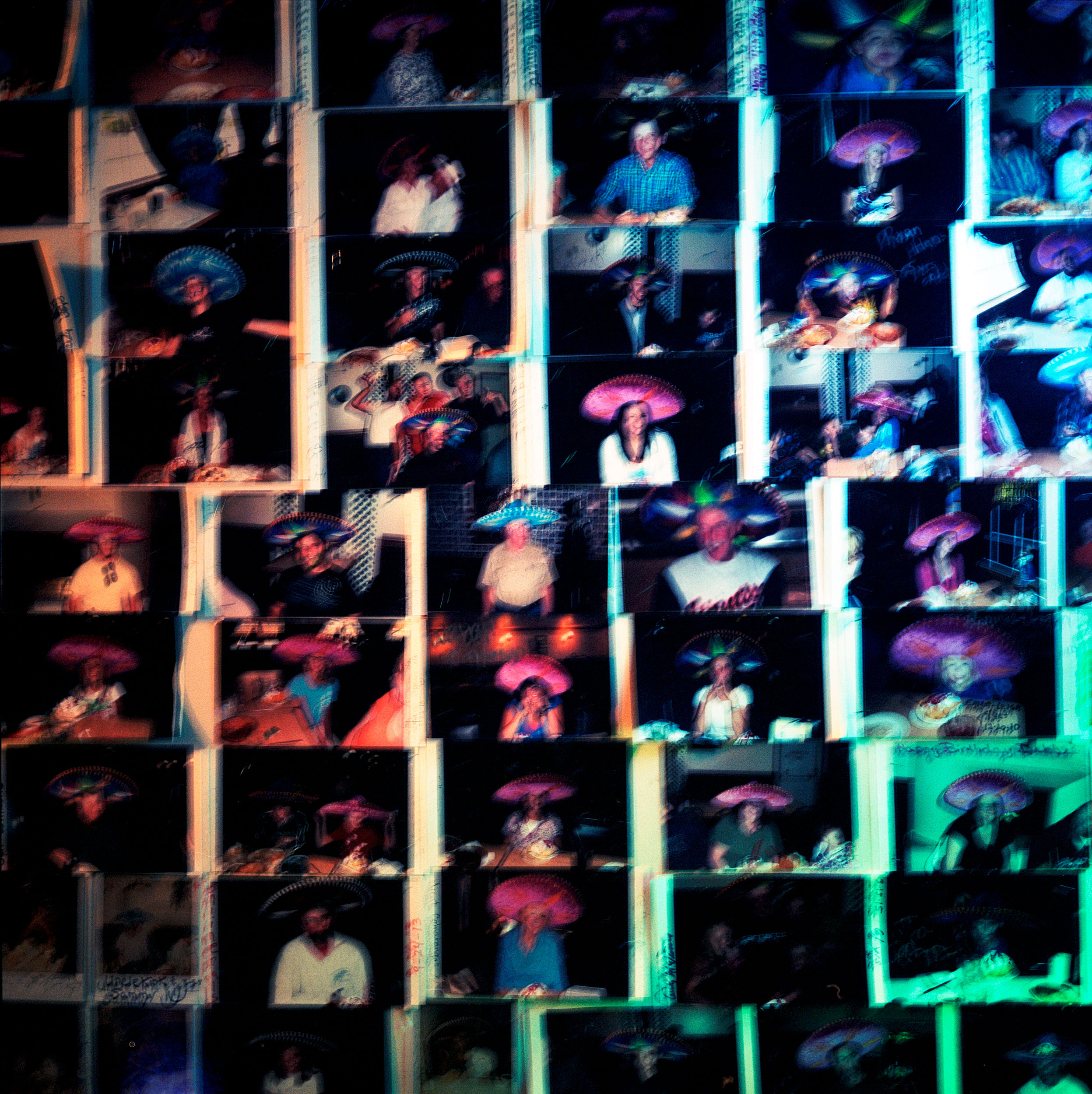
A wall of polaroids at La Fiesta restaurant in Ely, Nevada made on a dinner break on a cross country trip from California to Maryland on US Highway 50.
